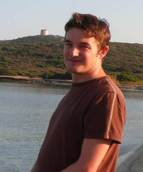
Dr Jeffrey Neal
"You learn about the gaps in our knowledge and why they cause a problem in the real world – being able to solve those problems and have a genuine impact on society gives you quite a buzz."
Dr Jeffrey Neal joined Bristol University’s world-leading geography department in 2007, to work as a postdoctoral researcher as part of the EPSRC/EA funded Flood Risk Management Research Consortium. Before that, he completed a geography degree and a PhD in flood forecasting at Southampton University.
Jeff describes himself as a technical expert who thrives on a challenge. As a hydrologist, his core focus lies in investigating data assimilation methods for river discharge estimation from remote sensing.
He also undertakes research to support flood risk management, which includes work on modelling flood hazard in urban areas and methods to increase the computational efficiency of hydraulic models.
As a researcher and lecturer on the Environmental Policy and Management MSc, he is keenly aware of the importance of enabling people to work at the interface of academia and policy – and the power of science to shape the future.
"I essentially write models that simulate flows of water over the land. We then take that information and calculate hazard, and convert that into risk by looking into the consequences that hazards might have.
By doing that, we hope that policy makers will use that information to make better decisions, and that in turn, it will create a demand for the models we formulate.
I really enjoy conducting research, I find the process quite interesting – taking something that’s not been done before, understanding it, reaching conclusions, it’s quite challenging.
As I’ve got further into the subject, I’ve learned about the gaps in our knowledge and why they cause a problem in the real world. Being able to research those problems and have a genuine impact on society gives you quite a buzz.
In particular it’s the ability to do something that leads to better decisions, and if people make better decisions then the world’s a better place.
Teaching on the Environmental Policy and Management course, I take some of the basic research skills that I use every day and teach those to the students. The module I teach gives an introduction to geographic information systems and remote sensing. We finish up with a case study that is actually my research area, and we encourage students to analyse the research results a bit further.
For instance, I have a model that simulates the flooding processes in the Inner Niger Delta in the Sahel (Mali). At least a couple of million people rely on it flooding for their livelihoods. The model I developed can simulate the impact that river flow changes due climate change in the region might have of the flood extent.
Last year, the students used GIS to analyse the data and assess the potential implications for things such as rice production, habitat availability and fish stocks.
You need to understand the requirements of the policy maker and what managers need in order to make a better decision, so we discuss those issues as well.
If you don’t understand what’s needed you can’t create something that will work. That’s part of the challenge of the exercise – to decide what you’re going to calculate from the data and how you are going to present it.
At the end of the project, students have to explain why they calculated the information in the way they did, why it’s useful and what decisions they would make on the basis of that.
Teaching on a Masters course is really nice because it’s a smaller cohort, people are experienced, and it’s a bit more interactive. I’m quite motivated by the challenge as well – teaching is all about how you can get people who haven’t worked in this way before to develop their research and analytical skills.
You can go on Masters courses that will predominately teach you the analytical skills whereas EPM is split between analysis and the policy side of environmental management. So it’s very much on the interface that gives you enough of an understanding of geographical data systems.
Ultimately, it can help you understand those systems and have an informed discussion. The course is mainly about policy and management but it gives you an introduction to the statistical and analytical skills that are needed to question the origins of policy.
Research often comes out with reams of data, a key skill is being able to take that and use it effectively and wise. It’s very easy to end up with misleading conclusions if you don’t consider uncertainty or understand the steps in the methods behind the data sets, so having someone skilled who looks at environmental problems with a critical eye is important.
It’s not what I spend most of my time researching but it is the applied end of my research, and what we try to get across to Masters students because they’re going to go back into the real world and actually use these things.”

Related links
- A subgrid channel model for simulating river hydraulics and floodplain inundation over large and data sparse areas, with G. Schumann and P. Bates
Water Resources Research, 2012