Evaluating risk in an earthquake event
Understanding how the immediate catastrophic impacts of earthquakes spread across society, becoming indirect losses and distress, can help reduce the aftermath of a disaster.
Understanding the physical and financial risks that are associated with an earthquake is challenging but helps put effective mitigation measures in place. Decision-support tools help value the potential losses and forms the basis for managing the risk. The models that underpin these tools, however, are associated with considerable uncertainty.
Estimating the effects of an earthquake across several areas
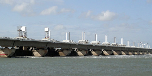
Many of the models used in risk analysis focus on a single site: they evaluate how a particular structure will stand up in an earthquake. But earthquakes don’t operate in isolation, they affect buildings and infrastructure across several areas. Understanding how the loss across a number of areas might occur during a single earthquake is critical to evaluating risk. Dr Katsu Goda, a member of the Cabot Institute for the Environment and Lecturer in the Department of Civil Engineering at the University of Bristol, has developed a ground-motion model that can assess multiple areas by shaking whole cities rather than just individual buildings. Goda developed the model while at the University of Western Ontario in Canada and it is being used in earthquake insurance analysis and the risk modelling and consulting industry.
"I developed a spatial correlation model, which changes the probability distribution of a seismic loss curve. If a risk management company, such as a bank or insurance company, is managing to a target of a 1-in-1000 year seismic event they might need to be prepared for a $300 million loss rather than the $100 million loss that other models would estimate. That’s a significant difference with potentially serious consequences for the financial viability of a company.”
Goda has applied his model to hypothetical wood-frame houses in south-western British Columbia, Canada (an area prone to earthquakes) to evaluate what portfolio parameters affect the likelihood of an insurer going bankrupt if there were an ordinary or a catastrophic earthquake.
“Canada has different tectonic settings within the same country: the west coast, including Victoria and Vancouver, is prone to shallow crustal earthquakes and sits on the Cascadia subduction zone. It’s in a similar tectonic situation to Japan and New Zealand. However, in the east, near Montreal, the rock is more solid and gives a different kind of attenuation of the ground motion. It’s more similar to the UK.”
Goda has also developed a seismic hazard assessment for the UK and produced a seismic hazard map for a rift region in Africa.
Looking at the cascade effects of tsunamis
He is now looking at tsunamis to incorporate this potentially devastating cascade effect of earthquake events into his model.
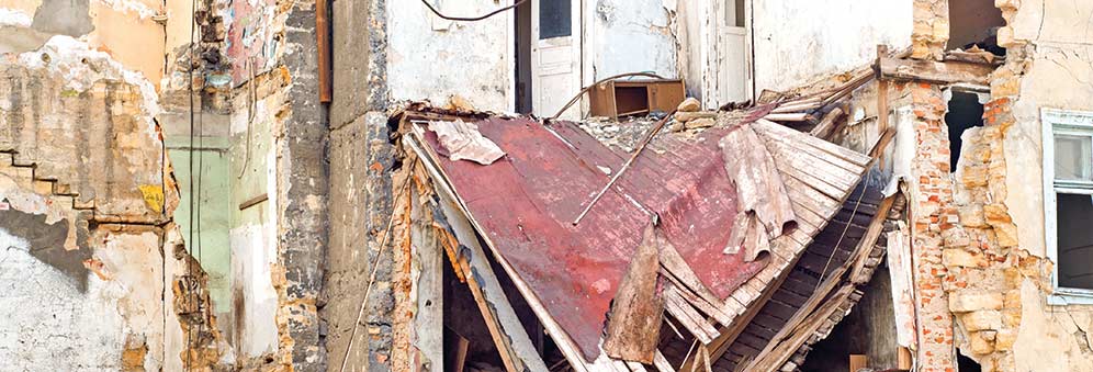
“I had the opportunity to go to Tōhoku, Japan after the tsunami as part of the Earthquake Engineering Field Investigation Team. Looking at the damage made me realise that more needed to be done. This is why I’m working toward a multi-hazard seismic assessment, which incorporates the risk associated with earth movements as well as the risk of a tsunami.”
Goda is developing his tsunami model to apply it to western Canada's coastal communities. If an earthquake happens between Vancouver Island and north California, it could reach a magnitude of 9.0, which is the same as the 2011 Tōhoku earthquake.