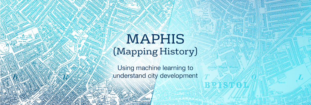
MAPHIS: Mapping History
What can historical maps teach us about the evolution of cities?
What are the economic forces that shape our cities? What lessons can we draw from history on how to make cities more sustainable – and long into the future?
By digitising historical maps spanning almost a century, this new research project from the School of Economics will explore the historical evolution of urban neighbourhoods from 1870 onwards and help us better understand how urban planning decisions made today affect the cities of tomorrow.
The long-term impacts of urban change
Industrialisation in the nineteenth century brought profound social, economic and environmental changes to our cities, the effects of which we still tackle today.
Victorian industry introduced pollution and shifted the value of urban land. Factories and slums sprung up in place of farmland, vast numbers of rural residents moved into the city and richer urban residents fled polluted neighbourhoods to create new patterns of social segregation that persist into the twenty-first century.
The study, led by Dr Yanos Zylberberg, will reveal how the pollution and slums of the nineteenth century have steered the long-term development of urban neighbourhoods and the structure of cities.
The research team will analyse an untapped treasure trove of data: historical maps from the nineteenth and twentieth centuries covering all cities of England and Wales. They will combine this information with individual census records and trade directories to provide deep insights on the forces that shape urban development more widely.
In the move towards a more sustainable future for cities, the findings will be of interest to urban planners, communities, economists and historians.
What will the study create?
The study will open up a wealth of information and tools to anyone interested in historical and sustainable urban development.
It will create:
- an open-source visual recognition algorithm to extract and to label features (e.g. chimneys, houses, factories, trees etc.) from historical maps;
- interactive maps of English and Welsh cities from 1870 onwards, combining maps of pollution imprints and information on neighbourhood composition (as extracted from census records), economic activity and slum clearances.
The study’s data on neighbourhood composition, industrialisation, pollution, and slum clearance will be added to a specific website “MAPHIS” to help connect it to a wider audience.
The study forms part of the wider ESRC-funded Mapping History project and is an international collaboration between Dr Yanos Zylberberg (University of Bristol), Laurent Gobillon (Paris School of Economics), Stephan Heblich (University of Toronto), Marcel Fortin (University of Toronto), Pierre-Philippe Combes (ENS Lyon-CNRS), Steve Redding (Princeton University) and Gilles Duranton (University of Pennsylvania).
 Dr Yanos Zylbeberg
“This project will help draw a uniquely detailed picture of changes in the sociol-economic structure and organisation of cities.”
View Dr Yanos Zylberberg's profile.
 Emilien Valat
“Using modern algorithmic tools is key to building an accurate and reliable model of urban growth from data spanning over centuries.”
View Emilien Valat's profile.
Find out more about our research
Explore our innovative research community and postgraduate research opportunities:
Centre for Evidence-Based Public Services (CEPS)
The Centre aims to deliver policy impact through conducting data-intensive research on public services, including health, education and welfare reform.