University home > Centenary > Look > Cabinet of Curiosities > Geological map
Geological map
Special Collections

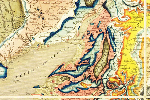
William Smith’s ‘A delineation of the strata of England and Wales, with part of Scotland’, published on 1st August 1815, is regarded as the first national geological map. A detail of the Bristol region is illustrated. The author was of humble origins and trained as a surveyor. Observations made in Somerset collieries led him to hypothesise about geological strata. Cutting local canals allowed him to test his ideas. The map is part of the nationally important geological library bequeathed to the University by Joan M. Eyles.
- Photographer: Jamie Carstairs
- Copyright: University of Bristol
- This image is licensed for some educational use only. Users must abide by these terms and conditions.
